13 Colonies Map With Appalachian Mountains
Introduction
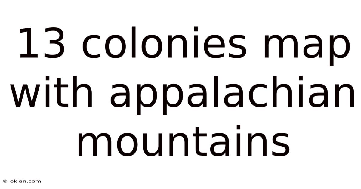
The 13 colonies map with Appalachian Mountains is a crucial educational tool that helps us understand the geographical, political, and historical context of early American settlement. This map highlights the original thirteen British colonies that later became the first states of the United States, along with the Appalachian Mountain range that served as a natural barrier to westward expansion during colonial times. Understanding this map provides valuable insights into colonial boundaries, settlement patterns, and the physical obstacles that shaped early American history.
Detailed Explanation
The 13 colonies were established along the Atlantic coast of North America between 1607 and 1732, stretching from New Hampshire in the north to Georgia in the south. These colonies were divided into three main regions: New England (Massachusetts, Rhode Island, Connecticut, and New Hampshire), the Middle Colonies (New York, New Jersey, Pennsylvania, and Delaware), and the Southern Colonies (Maryland, Virginia, North Carolina, South Carolina, and Georgia). When studying a map that includes the Appalachian Mountains, you'll notice that these colonies were all located east of this massive mountain range, which runs approximately 2,000 miles from Newfoundland in Canada to central Alabama in the United States.
The Appalachian Mountains played a significant role in shaping colonial life and expansion. This mountain range created a natural barrier that limited westward movement for many years. The mountains were difficult to cross due to their rugged terrain, dense forests, and the presence of Native American tribes who had lived there for centuries. As a result, colonial settlements remained concentrated along the coastal areas where transportation by ship was easier and where the soil was more suitable for agriculture, particularly in the Southern colonies where cash crops like tobacco, rice, and indigo were cultivated.
Step-by-Step Understanding of the Map
When examining a 13 colonies map with Appalachian Mountains, start by identifying the three colonial regions. The New England colonies in the north are characterized by their rocky soil and cooler climate, which led to different economic activities than those in other regions. Moving southward, the Middle Colonies featured fertile soil and a mix of agricultural and commercial activities. The Southern Colonies had the longest growing season and the most fertile soil, making them ideal for plantation agriculture.
Next, locate the Appalachian Mountains running diagonally across the map from northeast to southwest. Notice how all thirteen colonies are positioned east of this mountain range. The Proclamation of 1763, issued by King George III after the French and Indian War, officially prohibited colonial settlement west of the Appalachians, though this boundary was frequently crossed by settlers seeking new land. This geographical feature essentially created a boundary that defined the extent of British colonial territory in eastern North America.
Real Examples
A practical example of how the Appalachian Mountains affected colonial life can be seen in the development of transportation routes. Early colonial roads, such as the Great Wagon Road, were built to help settlers move southward through the valleys between mountain ridges. These valleys, known as "gaps," became crucial passageways. The Cumberland Gap, for instance, became one of the most important mountain passes, allowing settlers to eventually move westward when restrictions were lifted after the American Revolution.
Another example is the economic impact of the mountains on trade. The colonies east of the Appalachians developed strong maritime economies, with port cities like Boston, New York, Philadelphia, and Charleston becoming centers of commerce. The mountains made overland trade to the west difficult and expensive, so most colonial trade was conducted by sea with Europe, Africa, and the Caribbean. This coastal orientation would have long-lasting effects on American economic development and cultural connections.
Scientific or Theoretical Perspective
From a geographical perspective, the Appalachian Mountains are one of the oldest mountain ranges in the world, formed approximately 480 million years ago during the Ordovician Period. The mountains we see today are actually much smaller than their original height due to millions of years of erosion. This ancient geological history created the varied topography that colonial settlers encountered - from the rocky, less fertile soil of New England to the rolling Piedmont region and the fertile valleys that lay between the mountain ridges.
The mountains also created distinct climate zones that influenced colonial agriculture and settlement patterns. The coastal areas experienced milder temperatures and more consistent rainfall, while the mountain regions had cooler temperatures and different precipitation patterns. These climatic differences, combined with soil variations, determined what crops could be grown in each region and consequently shaped the economic development of each colony.
Common Mistakes or Misunderstandings
One common misunderstanding about the 13 colonies map with Appalachian Mountains is the assumption that the mountains formed an impenetrable barrier. While they were certainly challenging to cross, Native Americans had established trails through the mountains for centuries, and some colonial traders and explorers did venture into these areas. The mountains were more of a significant obstacle than an absolute barrier.
Another misconception is that all colonial settlement was directly along the coast. While major cities were coastal, many inland settlements existed, particularly as the colonial period progressed. These settlements often developed along rivers that flowed eastward from the mountains to the Atlantic, such as the Hudson, Delaware, and Susquehanna rivers. These river valleys provided transportation routes and fertile land for agriculture.
FAQs
What were the 13 original colonies?
The 13 original colonies were: New Hampshire, Massachusetts, Rhode Island, Connecticut, New York, New Jersey, Pennsylvania, Delaware, Maryland, Virginia, North Carolina, South Carolina, and Georgia. These colonies were established between 1607 and 1732 under British rule and later declared independence in 1776 to become the first states of the United States.
Why were the Appalachian Mountains important to the 13 colonies?
The Appalachian Mountains served as a natural western boundary for colonial expansion for many years. They created a physical barrier that made westward movement difficult, influenced settlement patterns by keeping populations concentrated in coastal areas, and shaped economic development by encouraging maritime rather than overland trade. The mountains also played a role in political decisions, such as the Proclamation of 1763 that prohibited settlement west of the range.
How did colonists eventually cross the Appalachian Mountains?
Colonists crossed the Appalachian Mountains through natural passes called gaps, such as the Cumberland Gap and the Cumberland Narrows. Native American trails were often adopted and widened for wagon use. The Wilderness Road, blazed by Daniel Boone in 1775, became one of the most famous routes through the Cumberland Gap. Rivers that originated in the mountains also provided routes westward for those willing to navigate their currents.
What geographical features besides the Appalachian Mountains influenced the 13 colonies?
Besides the Appalachian Mountains, several other geographical features influenced the colonies: the Atlantic coastline provided access to maritime trade; numerous rivers like the Hudson, Delaware, and Potomac served as transportation corridors and sources of water power; the fall line (where rivers become unnavigable due to waterfalls) marked the limit of water transport and became a site for early industry; and the varying soil types and climate zones across the different regions determined agricultural possibilities and economic activities.
Conclusion
The 13 colonies map with Appalachian Mountains represents more than just geographical boundaries - it tells the story of how physical geography shaped the course of American colonial history. The mountains created a natural frontier that influenced where people settled, how they traded, what they grew, and even how they thought about westward expansion. Understanding this map helps us appreciate the challenges early Americans faced and the geographical constraints that defined their world. The relationship between the colonies and the Appalachian Mountains demonstrates how human history is always intertwined with the physical environment, with natural features both limiting and directing the course of human events. Today, this map remains an essential educational tool for understanding the foundations of American geography, history, and the complex relationship between people and the land they inhabit.
Latest Posts
Latest Posts
-
A L B E I T
Mar 25, 2026
-
Vertical And Horizontal Shifts Of Graphs
Mar 25, 2026
-
Give An Example Of A Specialized Cell
Mar 25, 2026
-
How To Get Complexity Point Apush Dbq
Mar 25, 2026
-
What Does Rank Weighting Mean On Common App
Mar 25, 2026